
Tīrthas
Begin with the ground beneath the story
The atlas begins with checked geography, then gives every place a research pathway for source provenance, tradition-specific claims, field verification and reflective learning. The live map keeps location distinct from interpretation.
Explore the Sacred Map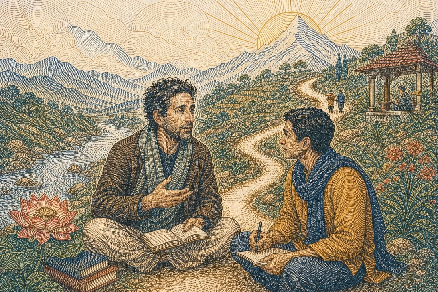
Geographic index
Coordinates checked28 places, six regions
A deliberate research boundary
Coordinates are geographic evidence, not proof of a sacred claim. Editorial place lessons therefore separate map facts, identified traditional sources, unresolved variants, current local guidance and the learner's own reflection. Human reviewers can approve or replace any interpretive layer without changing the map.